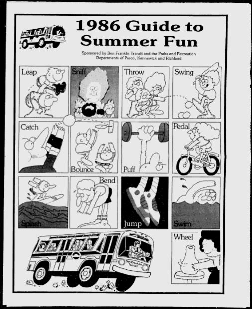
1986 Guide to Summer Fun
Posted: August 16, 2011 Filed under: History, Transit Leave a commentWhile doing a search for an old map of Ben Franklin Transit Route 44 (a route that was discontinued a long time ago), I came across something interesting.
 (If you’re interested in browsing through this guide, I’ve uploaded it to Flickr.)
Most of the guide is pretty generic summer stuff, but the biggest thing that caught my attention was that they included maps of the Ben Franklin Transit system from that time. Two major things to notice about this is that Interstate 182 hadn’t been opened yet (it would be opened later in the year) and the Blue Bridge was closed at this time for repairs. Below I’ll include clips of each’s cities routes.
Kennewick – Right off the bat, Routes 40, 43, 44, and 45 all are long gone routes. If you look closely, you’ll notice several differences in the layout of the road system as compared to the modern layout. Also interesting to note is that Huntington Transit Center (or any of Ben Franklin Transit’s transit centers) hadn’t been opened at this time. In Kennewick, the main transit point was located on Morain Street in front of the old WareMart (now occupied by Walker’s Furniture). I have seen a map that indicates the transit center may have also been at a point on Morain Street north of Clearwater Avenue, but I haven’t seen any information that supports that as of this time. In east Kennewick, the transfer point was located at the corner of 6th and Auburn, in front of the building that was occupied by Benton PUD at that time. (The building later was occupied by the Kennewick School District, now unoccupied.) The only remnant of this is a stop shelter just west of the intersection on 6th Avenue. In west Kennewick, the transfer point was located in the parking lot at Columbia Center Mall, which is where it remained for a very long time until the opening of Three Rivers Transit Center.
 Pasco – Unlike Kennewick’s large number of route changes, the only route from this map not around today is Route 63. The interesting thing to note with the map of Pasco is how a lot of it is very close to it’s modern day counterparts, particularly Routes 60 and 66. A glaring omission from the modern BFT system seen here is bus service to the airport. On a personal level, I really do believe that’s something that needs to be changed. (I’ll talk more about that in a future post.)
 Richland/West Richland – Apart from a few changes, Richland and West Richland have seen very few changes since the early years of BFT operations. In particular, Route 23 today is nearly the exact same as it was in 1986, minus the extension to Battelle Center. Also easy to notice is Route 10, which was deleted sometime during the 1990’s, but was reinstated in a different form in the mid 2000’s, and now runs at Route 110 between West Richland TC and Three Rivers TC via Bombing Range Road, the Queensgate area, and Columbia Park Trail.


